Webinars
Stay ahead with expert insights on geospatial analytics. Explore our on-demand webinars covering pipeline risk, dam safety, forest monitoring, and more—designed for utility and natural resource leaders seeking smarter asset management solutions.
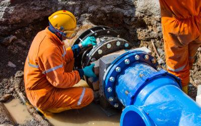
What’s your pipeline problem? The top 3 questions water network leaders ask
Geospatial Analytics for Enhanced Urban Change & Downstream Hazard Monitoring
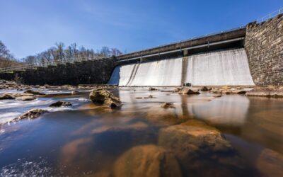
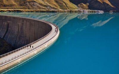
Dam Safety & Geospatial Analytics: Super Charge Regulatory Reporting
WaterOne: How to make geospatial analytics work for you