Optimizing Asset Management with Data-Driven Insights
Rezatec’s solutions are used by dam operators, utility leaders and forest managers to better prioritize their teams and focus them on what matters. User-friendly software and clear data visualization deliver new asset insights, enhanced by geospatial data and advanced analytics to:
- Detect Issues Early
- Reduce Operational Risk
- Enhance Decision Making
- Optimize Maintenance
- Ensure Compliance

Dam Safety Operations
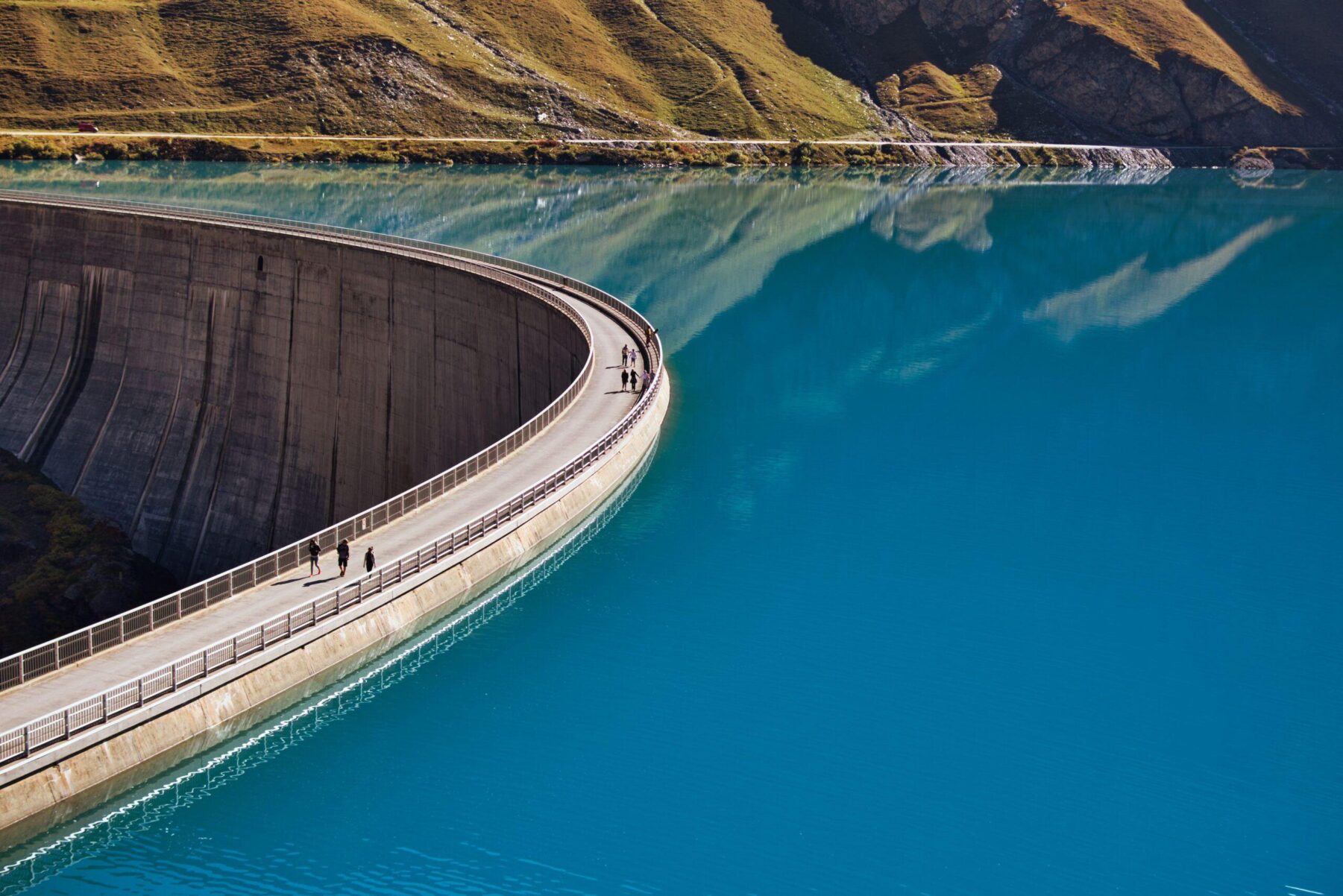
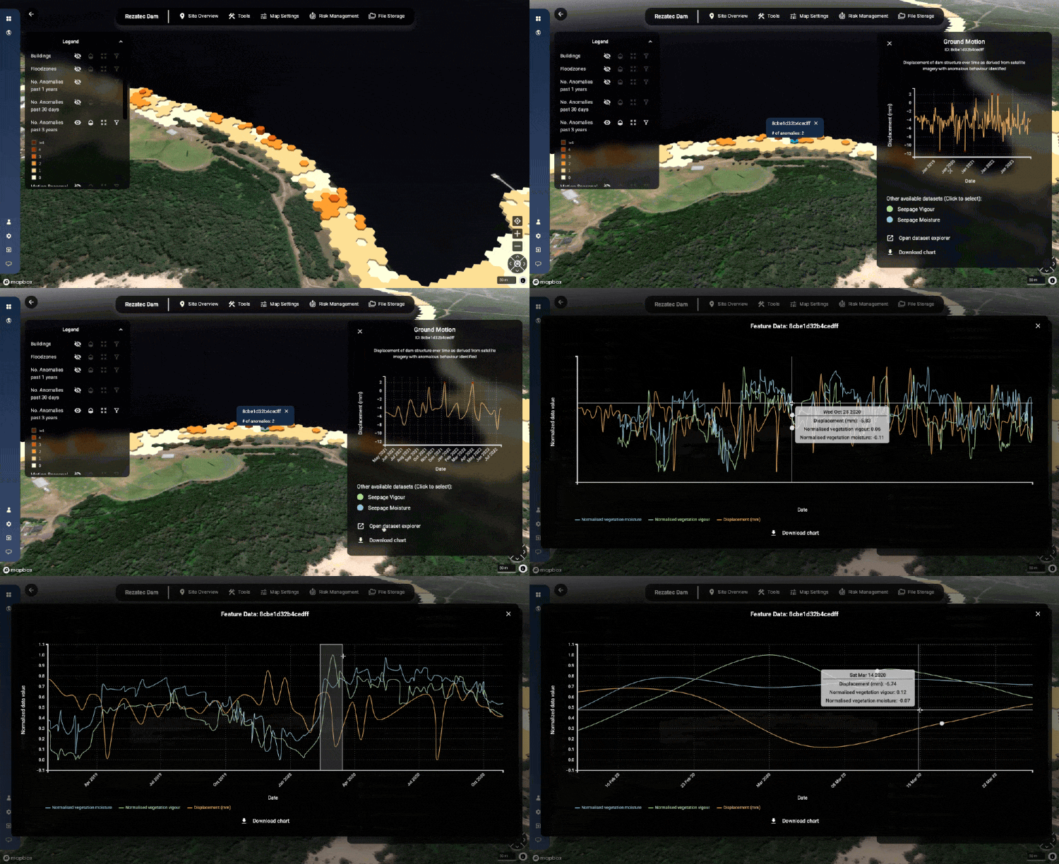
Maintaining dam condition and emergency preparedness is becoming more challenging with increasingly extreme and changeable weather patterns. Rezatec’s Dam Monitoring solution collates all dam data in a single location and facilitates easy comparison. Rezatec enhances that with satellite-derived data to monitor the structural integrity and seepage issues across the whole site and with historic and ongoing data refreshes to ensure issues can be spotted ahead of time. The platform supports a risk–based approach and helps organise and output data easily to support effective reporting.
Water System Management
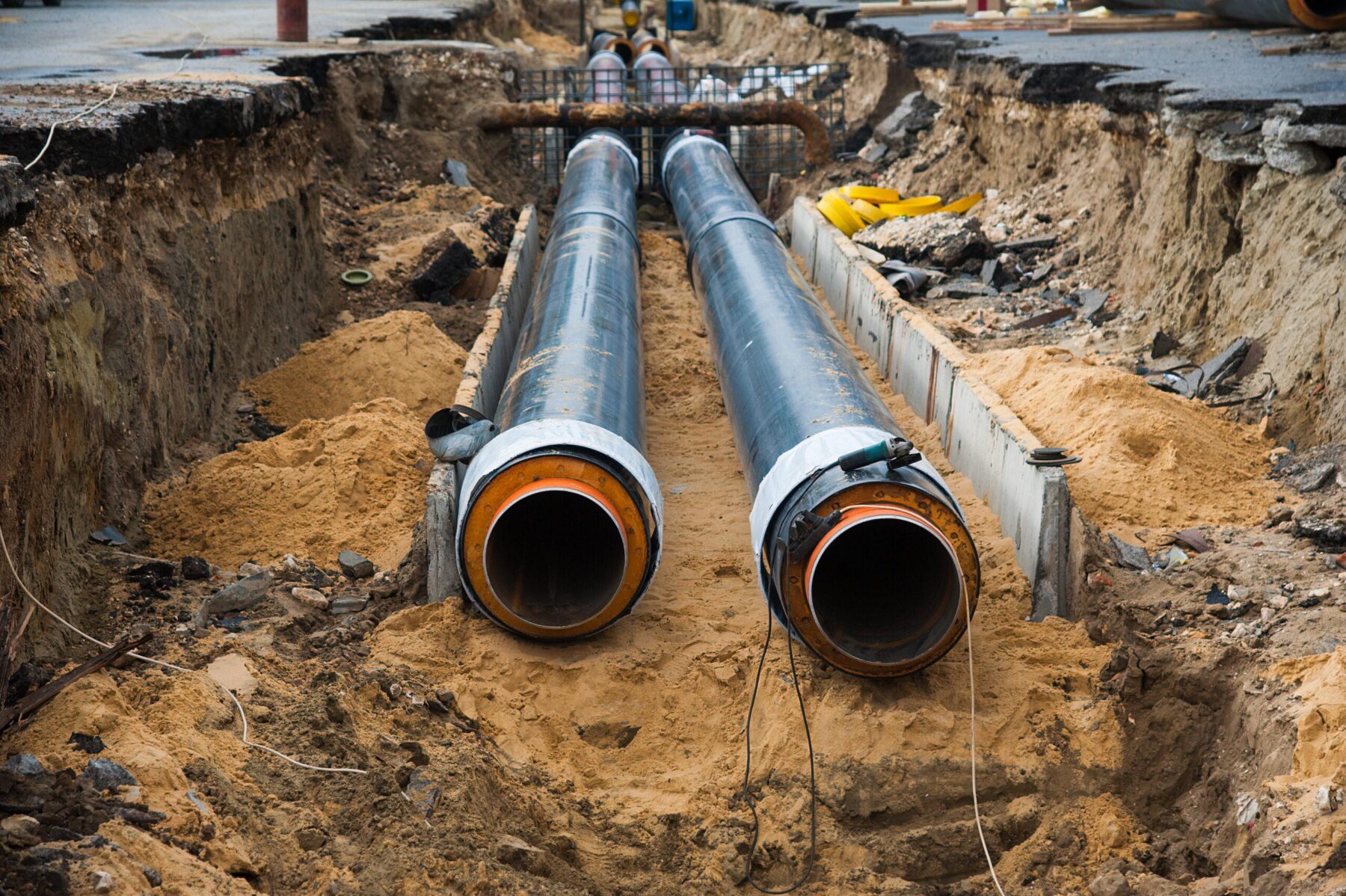
With water availability a challenge around the world, leakage reduction and effective replacement plans are becoming increasingly important. The Partnership for Safe Water, endorsed by AWWA, recommends 15 breaks per 100 miles of pipe per year as an optimal standard, and IWA recommends a burst frequency index of 13 bursts per 100km of mains per year. Rezatec’s Pipeline Risk highlights the pipes with the highest likelihood of failure to increase utilities’ leak detection rates by 5x on average.
Forest Monitoring
The change in our climate means forest assets are facing increasing threat from storms, fires, pests and disease. For growers, purchasers and investors, understanding the impact on the wood basket of harvesting activity or unplanned events is key. It ensures accurate prediction and preservation of return on investment and ability to address problems quickly to minimise losses. Rezatec’s Forest Monitoring solution provides frequent insights that are accurate across entire forests in a more scalable way than boots on the ground or aerial surveys.
Discover the Power of Geospatial Analytics
Unlock the potential of your data with Rezatec’s cutting-edge geospatial solutions. Our team of experts is ready to help you transform your operations and achieve greater efficiency and resilience.
Testimonials
The technology, allows us to prioritize both repairs and instrumentation where it is needed, as it is not feasible or cost effective to instrument the full length of all high hazard dams.
Drones just can’t achieve the millimetric accuracy of satellite data. Our comparisons showed drones pick up 20 to 30 millimeters; whereas satellite data detects movement of 1 to 2 millimeters. That’s hugely significant.
I was proud to lead this project and bring AI/ML solutions to WaterOne in an effort to advance our asset management and infrastructure planning programs. Rezatec was the ideal vendor for this pilot program and I’m pleased to say it was a resounding success!
Software for Seamless Operational Insights
Easily manage your data and translate new insights into day-to-day operations and improve the efficiency and effectiveness of your plans.
Explore Our Insights on Geospatial Analytics

Speak to us today
Our team is here to answer your questions. We’re excited to help you explore how geospatial analytics can support your business. Just fill out the form and we’ll get back to you.
