
Forest Monitoring
Satellite-based insights to get ahead of the threats to your forest.
Harness geospatial analytics to proactively track forest changes, protect ecosystems, and drive sustainability goals.
Managing large forests in increasingly unpredictable and extreme conditions
Large forest growers and purchasers face increasing wildfires, pest outbreaks, and extreme weather, which damage forests and disrupt operations. Market challenges, including timber price volatility, supply chain issues, and competition from alternative materials, add financial pressure. Balancing sustainability with profitability remains a constant challenge in an unpredictable economic and environmental landscape and traditional monitoring methods leave intelligence gaps making it difficult to respond effectively.
Remote, scalable forest monitoring
From sapling to sawn timber, transform how you prioritize, plan and optimise investment in your wood basket. Using satellite-based geospatial intelligence forest managers can respond more quickly to mitigate loss of timber value and optimise salvage after disturbance events.
Fire Severity
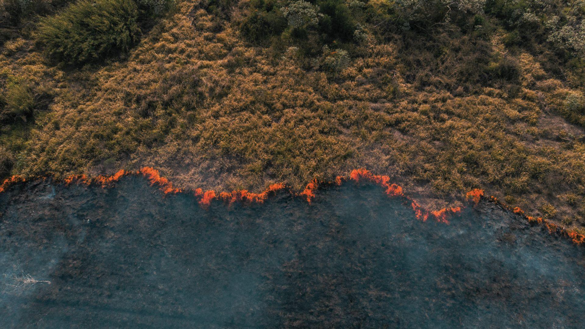
Speed is crucial after a wildfire for timber to be recovered before it deteriorates. Rezatec’s solution remotely evaluates the extent of damage to tree canopies and low-level vegetation post-fire. Helping forest managers accelerate and optimise salvage operations and extract least degraded trees quickly to maximise post-fire timber value.
Disturbance
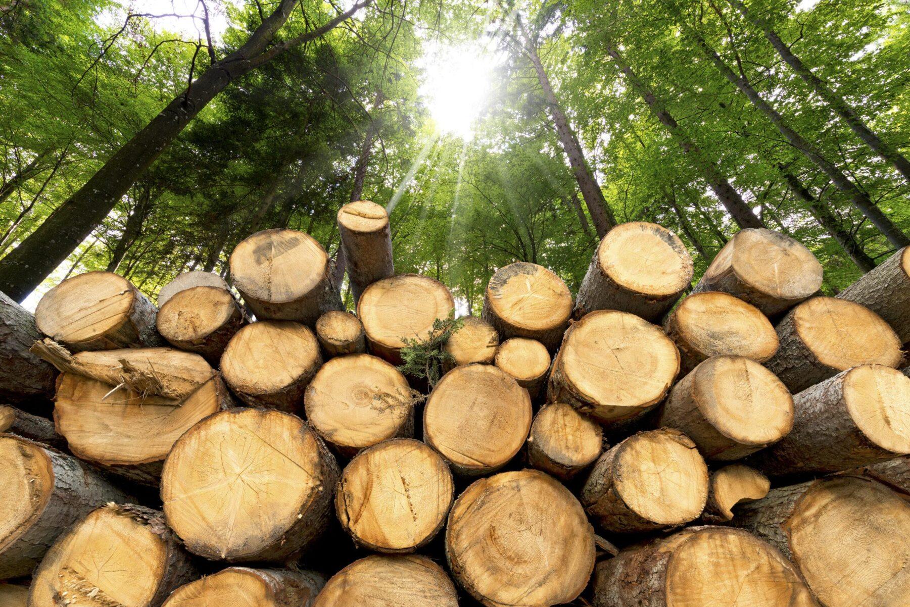
Reducing response time after storm, or health damage will ensure you can recover more timber before it deteriorates. Rezatec’s solution remotely identifies damaged areas and determines the extent of deterioration using satellite and ground-based data. The regular, consistent data updates from each orbit ensure you can minimise delays to salvage the highest value timber.
Reforestation
Monitoring timber crop growth helps maximise future inventory value. Rezatec’s solution distinguishes between desirable vegetation and competition, and frequent data refreshes help monitor this over time to prioritise your ground teams for silviculture activities, reduce treatment costs, boost neglected areas and avoid financial penalties or evidence certification requirements.

Key Advantages of Our Solution
Comprehensive Forest Monitoring
Rezatec’s satellite-enabled forest monitoring delivers consistent, objective insights across the lifecycle of your forest assets. From fire damage and storm disturbance to growth monitoring, our platform gives you the tools to manage timber resources proactively and profitably.
Fire Damage Assessment
Evaluate fire impact remotely to accelerate salvage and preserve timber value
Disturbance Detection
Identify storm or pest damage early and act fast to reduce losses.
Growth Monitoring
Track vegetation and silviculture progress with high-frequency updates.
Scalable Solutions
Our platform grows with your needs, accommodating expanding infrastructure and increasing data volumes seamlessly.
Certification & Compliance Support
Provide robust evidence for sustainability audits and track neglected areas to meet regulatory or financial obligations.
Optimise Resources
Direct ground crews and resources to the worst-hit areas, refining or even replacing aerial surveys for improved ROI.
Respond Faster to Change
Access refreshed satellite insights every 5 to 12 days—giving you visibility over changing forest conditions..
Plan with Confidence
Analyze historical trends and seasonal patterns to support long-term forest planning, investment decisions, and risk mitigation.
Rezatec Geospatial Platform
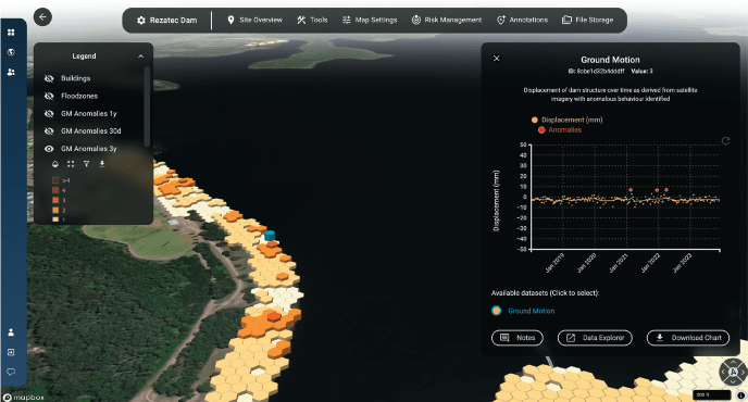
Quick to sign up, and easy to add your data, our platform gives you 24/7 secure access to your data from anywhere. The platform features advanced visualisations that allow you to map, analyse, and interpret your insights with ease. Powerful interactive tools enable you to explore, filter, and interrogate your data, helping you make informed decisions with greater accuracy and confidence.
- Data overlaid on maps
- Compare data geosptially and over time in charts
- Filter and sort tables to identify the plots you need to visit
- Integrate seismic, weather and wild-fire alerts
- And more…
Satellite-based insights
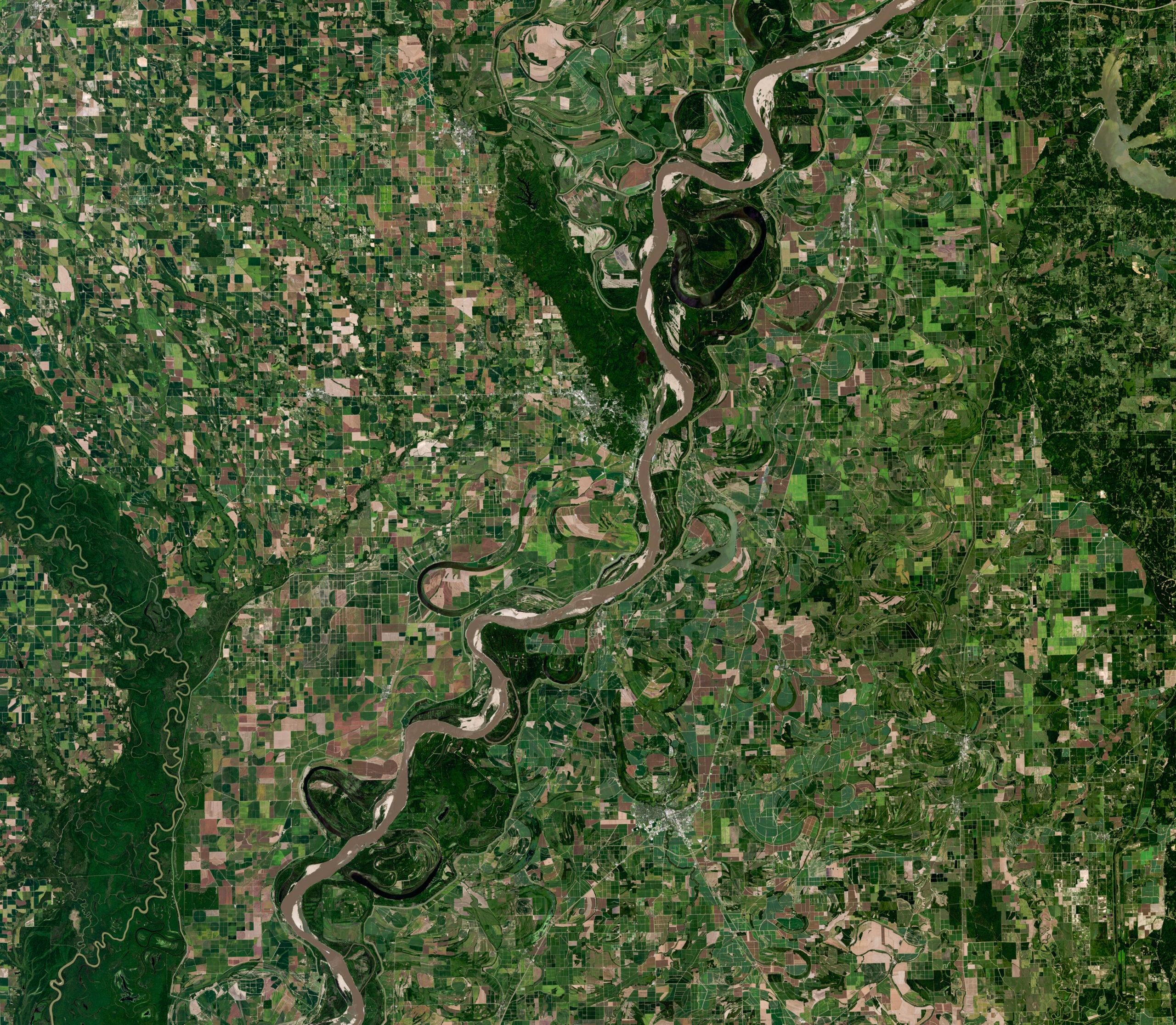
Using multispectral data from satellites, Rezatec’s model identifies spectral indices of forested and vegetated areas on the ground. The archived satellite data ensures Rezatec’s models can incorporate historical datasets and use data science to identify trends and seasonal patterns in the data and any significant negative changes in the state of the canopy cover. Frequently refreshed data from each orbit every 5-12 days facilitates remote monitoring of the changing state of the forested assets over time.
Explore Our Insights on Geospatial Analytics
Trusted Globally for Forest Monitoring
“New Forests requires accurate and precise forest inventory to quantify climate benefits from managing forests sustainably. Rezatec’s platform provides improved efficiency in field data collection, resulting in timely, accurate and spatially resolved results that meet our due diligence and business development needs.”
Peter Tittman, Investments Analytics Manager, New Forests.
“Forsite is really excited about the innovative capabilities that satellite data can now provide to the forestry sector … we can enable our clients to be more productive, more efficient and more profitable”
Cameron Brown, Forsite Consultants
“Rezatec provides the ideal remote sensing tool to capture robust metrics for canopy connectiveness, helping us measure how the project is improving nature across a wide area for the long term”
Annie Murray, National Trust
Frequently Asked Questions
What is Rezatec Forest Monitoring?
Rezatec Forest Monitoring is a geospatial analytics solution for forest growers, purchasers and investors. Using multispectral satellite data refreshed every 5–12 days, it tracks forest change across the asset lifecycle — assessing fire damage, detecting storm and pest disturbance, and monitoring regrowth — so managers can salvage timber faster, protect value and support certification.
What does Rezatec Forest Monitoring do?
Rezatec Forest Monitoring uses satellite data to track forest change across the whole asset lifecycle — from fire and storm damage assessment to growth and reforestation monitoring. It helps forest managers respond quickly to disturbance events, salvage the highest-value timber, and plan proactively.
How does Rezatec help after a wildfire?
After a wildfire, Rezatec remotely evaluates the extent of damage to tree canopies and low-level vegetation. This helps forest managers accelerate and optimise salvage operations, extracting the least-degraded trees quickly to maximise post-fire timber value before it deteriorates.
How does Rezatec detect storm and pest damage?
Rezatec remotely identifies damaged areas and determines the extent of deterioration after storm or health events, using satellite and ground-based data. Regular, consistent updates from each orbit help minimise delays, so managers can salvage the highest-value timber before it deteriorates.
How often is Rezatec's forest data updated?
Rezatec refreshes its satellite insights every 5 to 12 days. Using multispectral data and archived imagery, its models identify trends, seasonal patterns and significant negative changes in canopy cover over time.
How is satellite forest monitoring better than aerial surveys?
Rezatec provides consistent, objective insight across entire forests and can refine or even replace aerial surveys, improving return on investment. It directs ground crews to the worst-hit areas and scales across large, expanding estates without a matching increase in field effort.
Who uses Rezatec Forest Monitoring?
Rezatec Forest Monitoring is used by forest investors, managers and consultants including New Forests, Forsite Consultants and the National Trust, to capture accurate forest metrics, improve field-data efficiency, and support due diligence and sustainability goals.