Case Studies
See how organizations are using Rezatec’s geospatial analytics to solve real-world challenges. Our case studies showcase success stories across water, forestry, and infrastructure—highlighting measurable impact in asset monitoring, risk reduction, and operational efficiency.

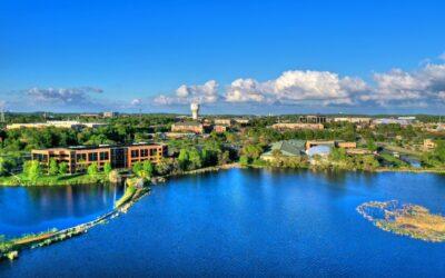
WaterOne: Validating the accuracy of geospatial analytics
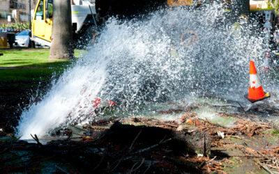
Eden Prairie: Driving water distribution network improvements with geospatial analytics

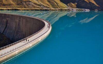
Bella Vista Property Owners Association: at the forefront of dam safety
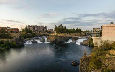
Spokane : leading the charge on building regulatory and investment confidence