Elegant Geospatial Solutions for a Changing World

Rezatec simplifies geospatial analysis and complex data science through innovative geospatial solutions, helping manage risk for hard-to-reach assets. By integrating diverse datasets and harnessing satellite data, it generates valuable insights, presenting them in a clear, actionable way to support daily operations—making advanced data science both accessible and practical.

Optimizing Asset Management with Data-Driven Insights 

Rezatec’s solutions are used by dam operators, utility leaders and forest managers to better prioritize their teams and focus them on what matters. User-friendly software and clear data visualization deliver new asset insights, enhanced by geospatial data and advanced analytics to: 

  • Detect Issues Early
  • Reduce Operational Risk
  • Enhance Decision Making
  • Optimize Maintenance
  • Ensure Compliance
Rezatec geospatial solutions for forest management

Dam Safety Operations

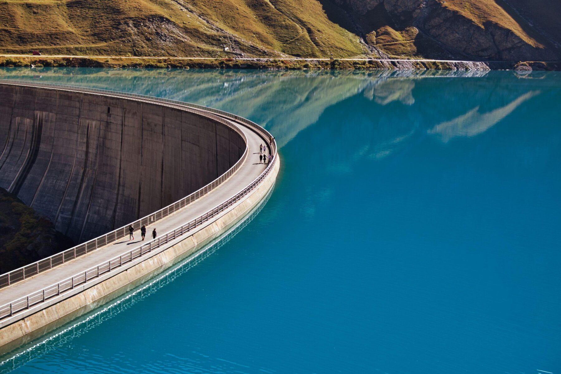
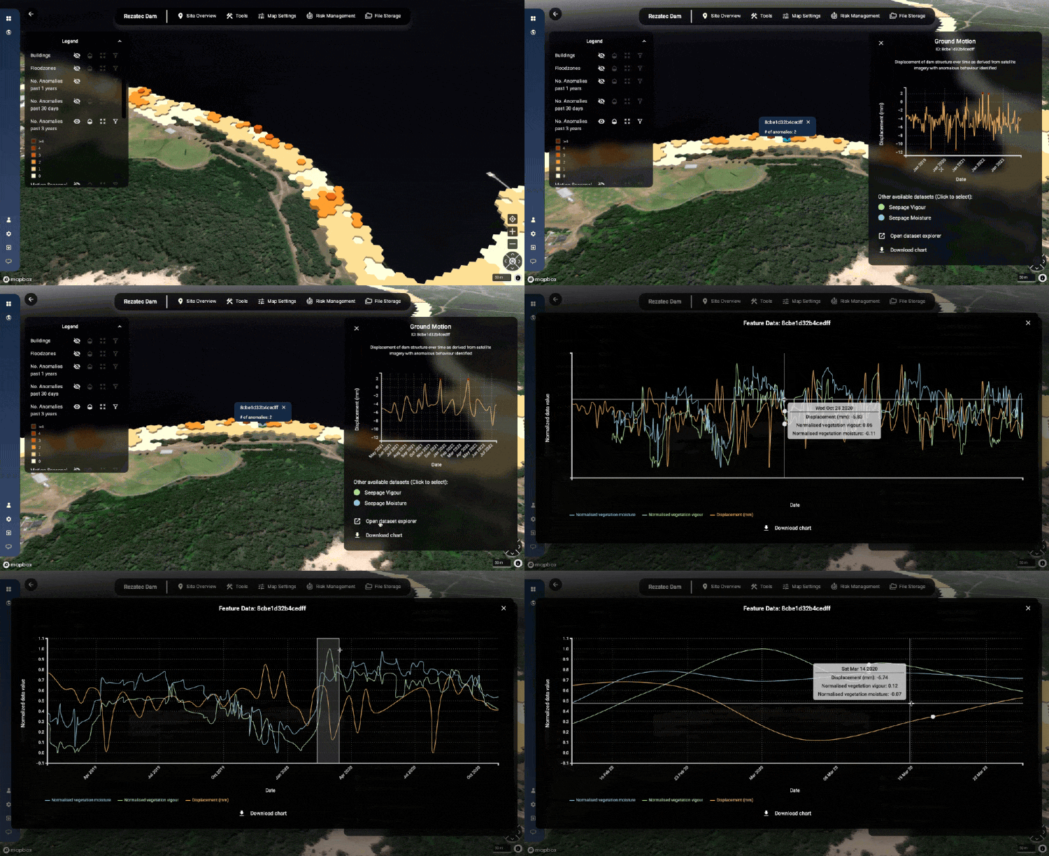
Maintaining dam condition and emergency preparedness is becoming more challenging with increasingly extreme and changeable weather patterns. Rezatec’s Dam Monitoring solution collates all dam data in a single location and facilitates easy comparison. Rezatec enhances that with satellite-derived data to monitor the structural integrity and seepage issues across the whole site and with historic and ongoing data refreshes to ensure issues can be spotted ahead of time. The platform supports a riskbased approach and helps organise and output data easily to support effective reporting. 

geospatial solutions for dam safety
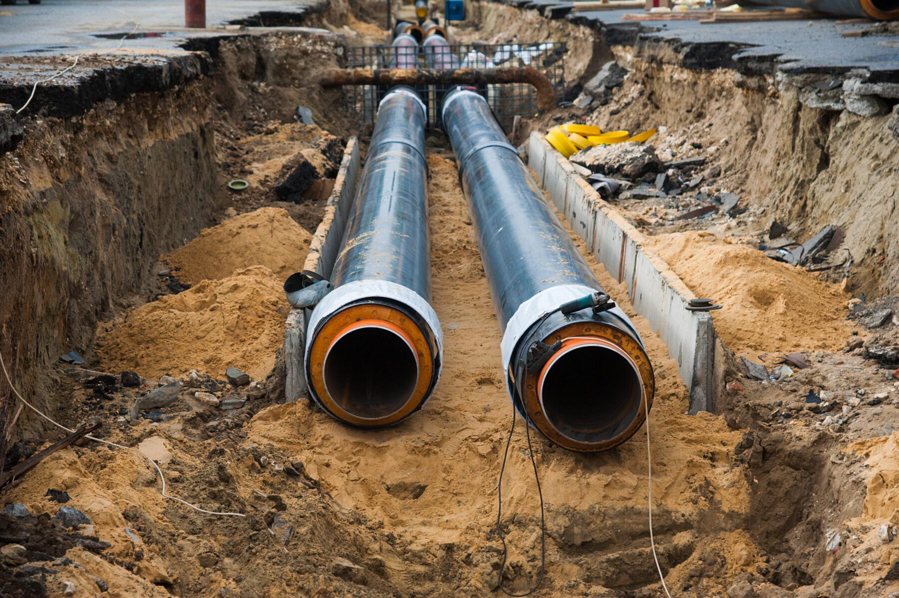
Geospatial solutions for water system management.

Water System Management

With water availability a challenge around the world, leakage reduction and effective replacement plans are becoming increasingly important. The Partnership for Safe Water, endorsed by AWWA, recommends 15 breaks per 100 miles of pipe per year as an optimal standard, and IWA recommends a burst frequency index of 13 bursts per 100km of mains per year. Rezatec’s Pipeline Risk highlights the pipes with the highest likelihood of failure to increase utilities leak detection rates by 5x on average. 

Forest Monitoring

The change in our climate means forest assets are facing increasing threat from storms, fires, pests and disease. For growers, purchasers and investors, understanding the impact on the wood basket of harvesting activity or unplanned events is key. It ensures accurate prediction and preservation of return on investment and ability to address problems quickly to minimise losses. Rezatec’s Forest Monitoring solution provides frequent insights that are accurate across entire forests in a more scalable way than boots on the ground or aerial surveys. 

Smart Forestry: Transforming Sustainable Forest Management with Geospatial Analytics

Discover the Power of Geospatial Analytics

Unlock the potential of your data with Rezatec’s cutting-edge geospatial solutions. Our team of experts is ready to help you transform your operations and achieve greater efficiency and resilience.

Testimonials

The technology, allows us to prioritize both repairs and instrumentation where it is needed, as it is not feasible or cost effective to instrument the full length of all high hazard dams.

James W. Gallagher

Chief Engineer of the Dam Bureau, New Hampshire Dept of Environmental Services

Drones just can’t achieve the millimetric accuracy of satellite data. Our comparisons showed drones pick up 20 to 30 millimeters; whereas satellite data detects movement of 1 to 2 millimeters. That’s hugely significant.

Daniel Turnbull

Dam Safety Engineer, Hunter Water

I was proud to lead this project and bring AI/ML solutions to WaterOne in an effort to advance our asset management and infrastructure planning programs. Rezatec was the ideal vendor for this pilot program and I’m pleased to say it was a resounding success!

Jason Beyer

GIS Lead, Distribution Engineering, WaterOne

Software for Seamless Operational Insights 

Easily manage your data and translate new insights into day-to-day operations and improve the efficiency and effectiveness of your plans. 

Explore Our Insights on Geospatial Analytics

Data-Driven Transformation: Optimizing Olathe’s Water Network with Rezatec’s Pipeline Risk Solution

Overview The City of Olathe, located in Kansas, serves approximately 100,000 residents within its water system boundary, while the total city population is around 150,000. The city operates an extensive water distribution network, consisting of over 623miles of...

WaterOne: Validating the accuracy of geospatial analytics

Overview Founded in 1957 as an independent, non-profit public water utility, WaterOne is the largest utility in Kansas, serving 17 cities across Johnson County. With a mission to provide a safe, reliable, high-quality water supply with exceptional service and value,...

WaterOne: How to Make Geospatial Analytics Work for You?

Hear from Jason Beyer, GIS Lead at USA utility, WaterOne, who will answer the killer question: can I trust geospatial analytics and how do I make it work for my organization?  Faced with a near $50 million upgrade bill over the next ten years spanning 2,800...

WaterOne: How to make geospatial analytics work for you

Hear from Jason Beyer, GIS Lead at USA utility, WaterOne, who will answer the killer question: can I trust geospatial analytics and how do I make it work for my organization?  Faced with a near $50 million upgrade bill over the next ten years spanning 2,800...

Smart Forestry: Transforming Sustainable Forest Management with Geospatial Analytics

Forests provide essential ecosystem functions, including carbon sequestration, biodiversity, and water filtration, increasingly vital as natural resources become scarcer. Balancing timber production demands with ecosystem protection poses considerable challenges....

How to Forecast Pipeline Failures from Weather with Geospatial Analytics

Flooding, freezing, heatwaves, and prolonged drought—extreme weather events are escalating in both frequency and intensity around the world. These shifting climate conditions pose serious challenges for water utility operators, intensifying the pressure to monitor...

Digital Dam Monitoring with Geospatial Analytics

Aging dams worldwide face increasing risks due to structural degradation, climate change, and urban development. Traditional monitoring methods often lack the scalability and precision needed to proactively manage these challenges. Rezatec's webinar, "Enable Digital...

Advance Warning from Advanced Data: How Geospatial Analytics Supercharges Pipeline Risk Accuracy

Join this webinar to discover how water utilities are using geospatial analytics to improve pipeline risk accuracy. Learn how advanced satellite data enables early warning detection, smarter capital planning, and fewer reactive repairs—helping your team stay ahead of...

Get Proactive With Pipeline Risk: How to reduce water loss and reactive repairs using Geospatial Analytics

An ageing water network leads to failing pipes, water losses and increasing costs. As a pipeline network manager, this presents major challenges for you. How do you know where to prioritize resources to reduce water losses? And how can you operate an efficient upgrade...

Break Free from Reactive Pipeline Repairs with Geospatial Analytics

If your utility company is spending too much time and money responding to leaks or pipeline failures, this webinar will show you how to break free.   Geospatial Analytics is helping organizations around the world to identify pipeline risk with unprecedented...

Speak to us today

Our team is here to answer your questions. We’re excited to help you explore how geospatial analytics can support your business. Just fill out the form and we’ll get back to you.