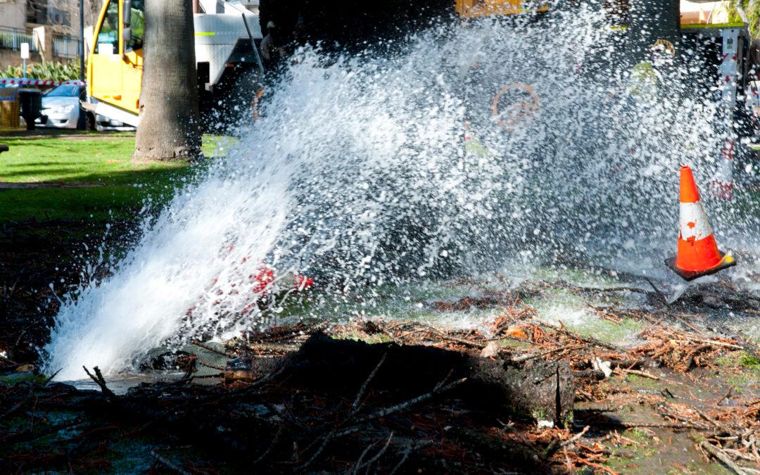
by Jordyn Hayden | May 28, 2025 | Case Studies, Pipeline Risk
Overview The City of Olathe, located in Kansas, serves approximately 100,000 residents within its water system boundary, while the total city population is around 150,000. The city operates an extensive water distribution network, consisting of over 623miles of...
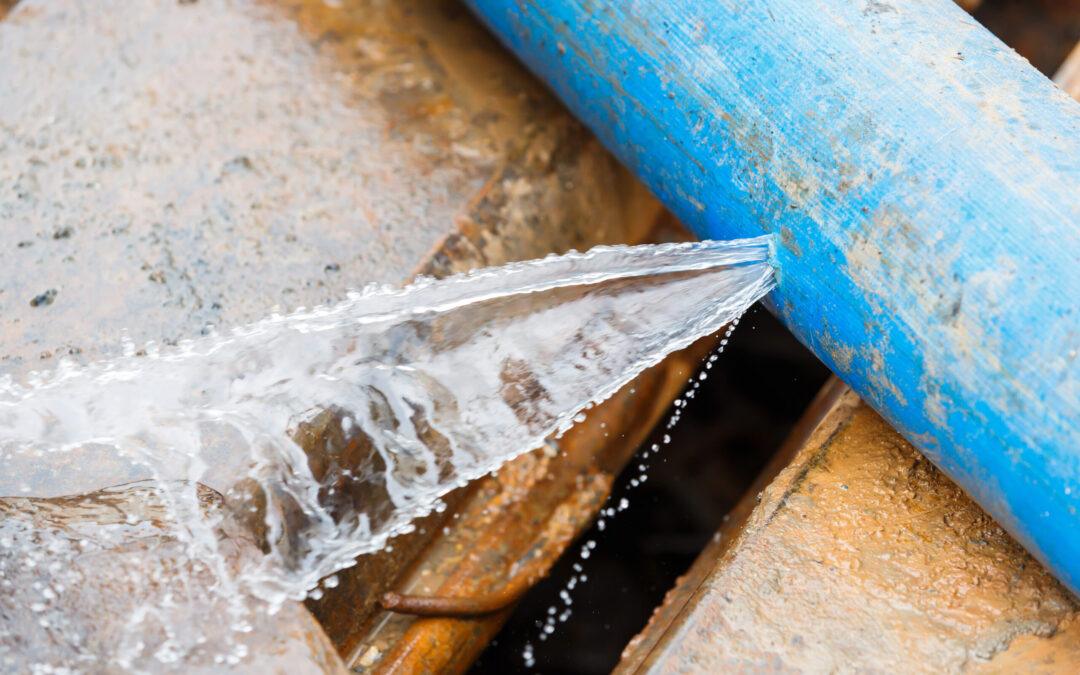
by Jordyn Hayden | May 6, 2025 | Case Studies, Pipeline Risk
Overview Founded in 1957 as an independent, non-profit public water utility, WaterOne is the largest utility in Kansas, serving 17 cities across Johnson County. With a mission to provide a safe, reliable, high-quality water supply with exceptional service and value,...
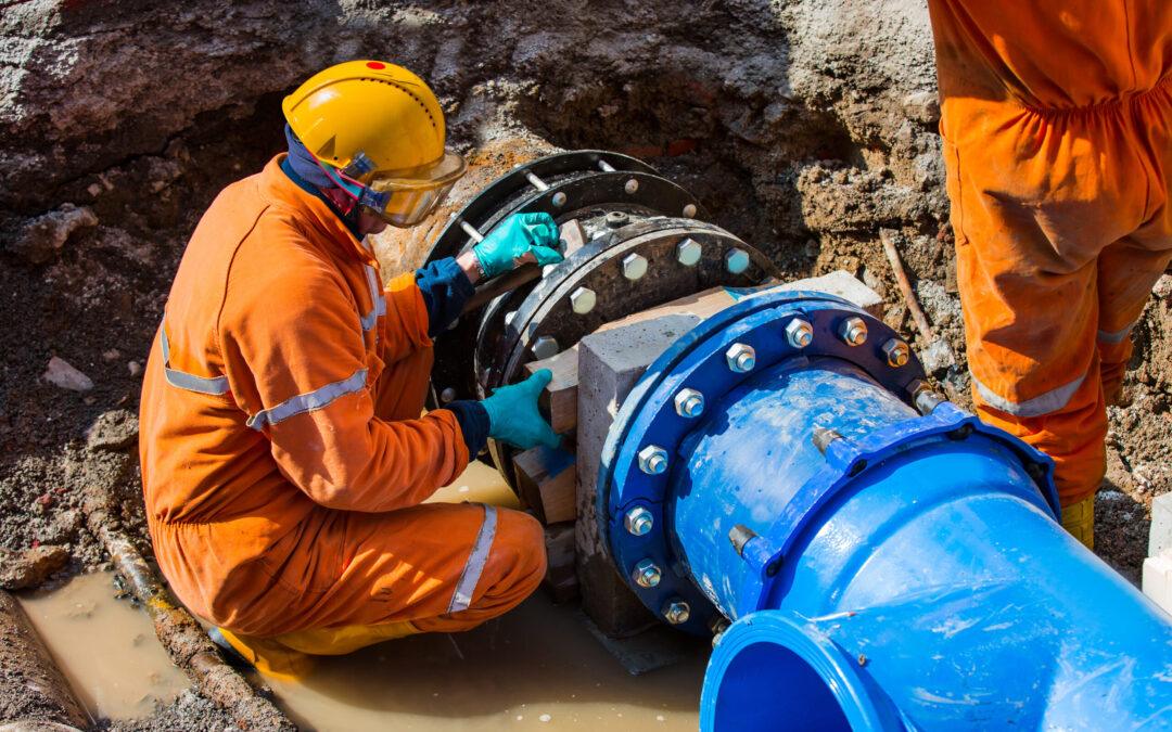
by Jordyn Hayden | May 1, 2025 | Pipeline Risk, Webinars & Videos
Hear from Jason Beyer, GIS Lead at USA utility, WaterOne, who will answer the killer question: can I trust geospatial analytics and how do I make it work for my organization? Faced with a near $50 million upgrade bill over the next ten years spanning 2,800...
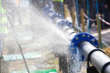
by Jordyn Hayden | Apr 11, 2025 | Pipeline Risk, Webinars & Videos
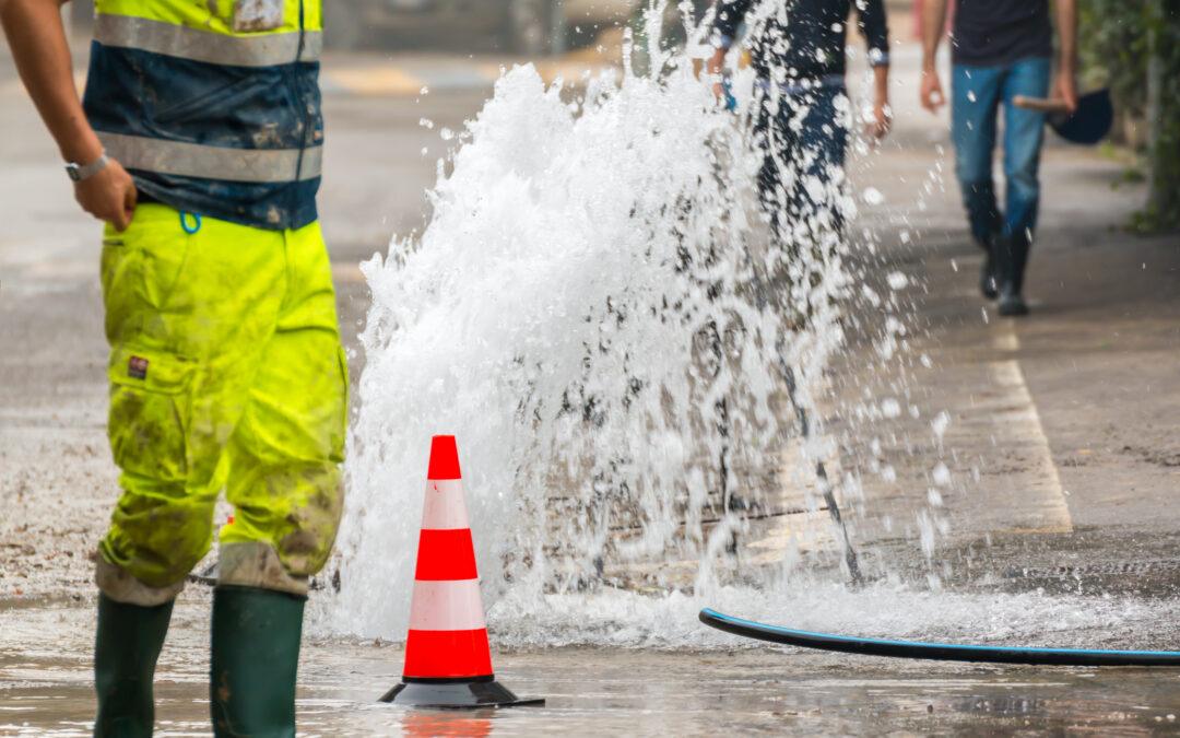
Flooding, freezing, heatwaves, and prolonged drought—extreme weather events are escalating in both frequency and intensity around the world. These shifting climate conditions pose serious challenges for water utility operators, intensifying the pressure to monitor...
by Jordyn Hayden | Apr 11, 2025 | Pipeline Risk, Webinars & Videos
Join this webinar to discover how water utilities are using geospatial analytics to improve pipeline risk accuracy. Learn how advanced satellite data enables early warning detection, smarter capital planning, and fewer reactive repairs—helping your team stay ahead of...