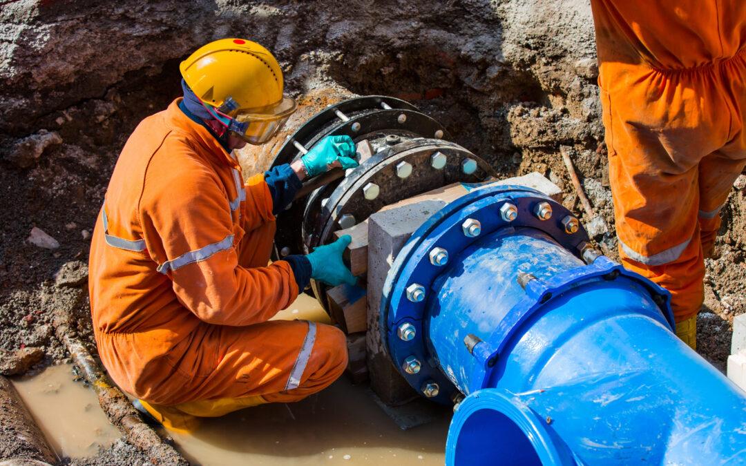
by Jordyn Hayden | May 1, 2025 | Pipeline Risk, Webinars & Videos
Hear from Jason Beyer, GIS Lead at USA utility, WaterOne, who will answer the killer question: can I trust geospatial analytics and how do I make it work for my organization? Faced with a near $50 million upgrade bill over the next ten years spanning 2,800...

by Jordyn Hayden | Apr 17, 2025 | Articles, Forest Monitoring
Forests provide essential ecosystem functions, including carbon sequestration, biodiversity, and water filtration, increasingly vital as natural resources become scarcer. Balancing timber production demands with ecosystem protection poses considerable challenges....
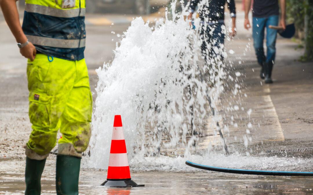
by Jordyn Hayden | Apr 11, 2025 | Pipeline Risk, Webinars & Videos
Flooding, freezing, heatwaves, and prolonged drought—extreme weather events are escalating in both frequency and intensity around the world. These shifting climate conditions pose serious challenges for water utility operators, intensifying the pressure to monitor...
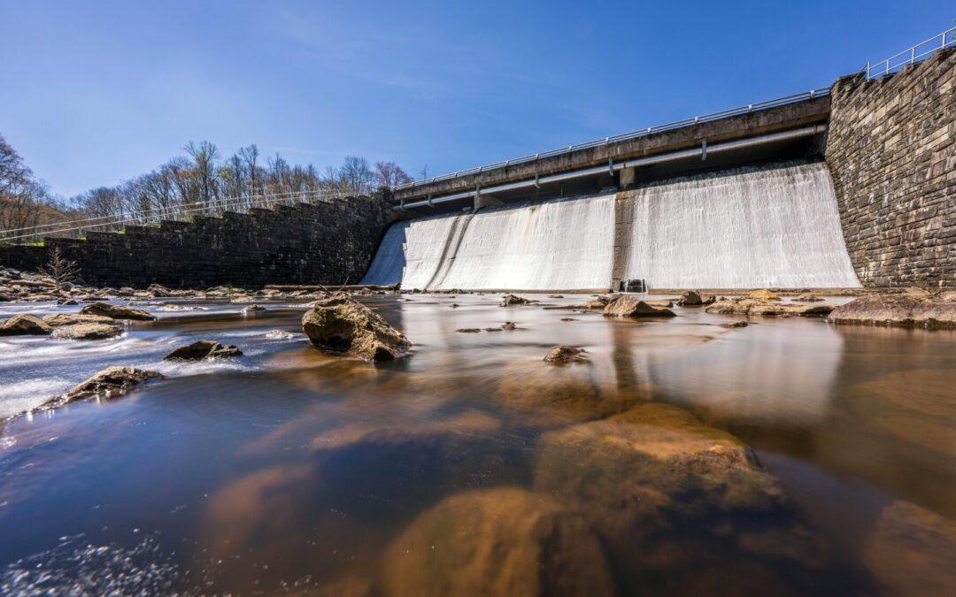
by Jordyn Hayden | Apr 11, 2025 | Dam Monitoring, Webinars & Videos
Aging dams worldwide face increasing risks due to structural degradation, climate change, and urban development. Traditional monitoring methods often lack the scalability and precision needed to proactively manage these challenges. Rezatec’s webinar,...
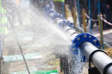
by Jordyn Hayden | Apr 11, 2025 | Pipeline Risk, Webinars & Videos
Join this webinar to discover how water utilities are using geospatial analytics to improve pipeline risk accuracy. Learn how advanced satellite data enables early warning detection, smarter capital planning, and fewer reactive repairs—helping your team stay ahead of...