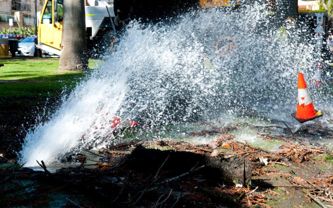
by Jordyn Hayden | Apr 11, 2025 | Pipeline Risk, Webinars & Videos
If your utility company is spending too much time and money responding to leaks or pipeline failures, this webinar will show you how to break free. Geospatial Analytics is helping organizations around the world to identify pipeline risk with unprecedented...
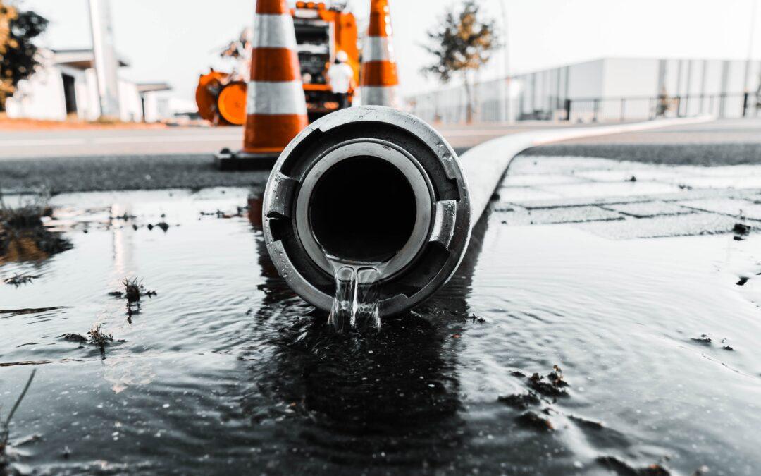
by Jordyn Hayden | Apr 8, 2025 | Articles, Pipeline Risk
WaterOne is a major Kansas utility that serves 450,000 customers across a 272-square-mile service territory. Beginning in 2003, the utility has used geographic information systems (GIS) technology to manage its infrastructure, adding global positioning system (GPS)...
by Jordyn Hayden | Apr 8, 2025 | Pipeline Risk, Webinars & Videos
Water utilities are under pressure to reduce water loss and justify capital investments. Discover three proven technologies that support water infrastructure investment for utilities—helping access funding, cut leakage, and plan smarter. In this webinar, Rezatec...
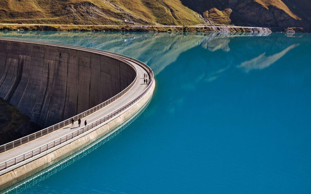
by Jordyn Hayden | Apr 8, 2025 | Dam Monitoring, Webinars & Videos
The New Hampshire Department of Environmental Services (DES) is using geospatial analytics for dam safety to improve monitoring, prioritize inspections, and reduce risk across its portfolio. Learn how satellite-based insights are transforming how dam infrastructure is...

by Jordyn Hayden | Apr 8, 2025 | Forest Monitoring, Webinars & Videos
Monitoring the health of your forests has always been crucial to your organisation’s survival. But in a changing climate you need to make sure you’re using the best technology solutions to spot early signs of an attack. Although pests and disease are difficult to...